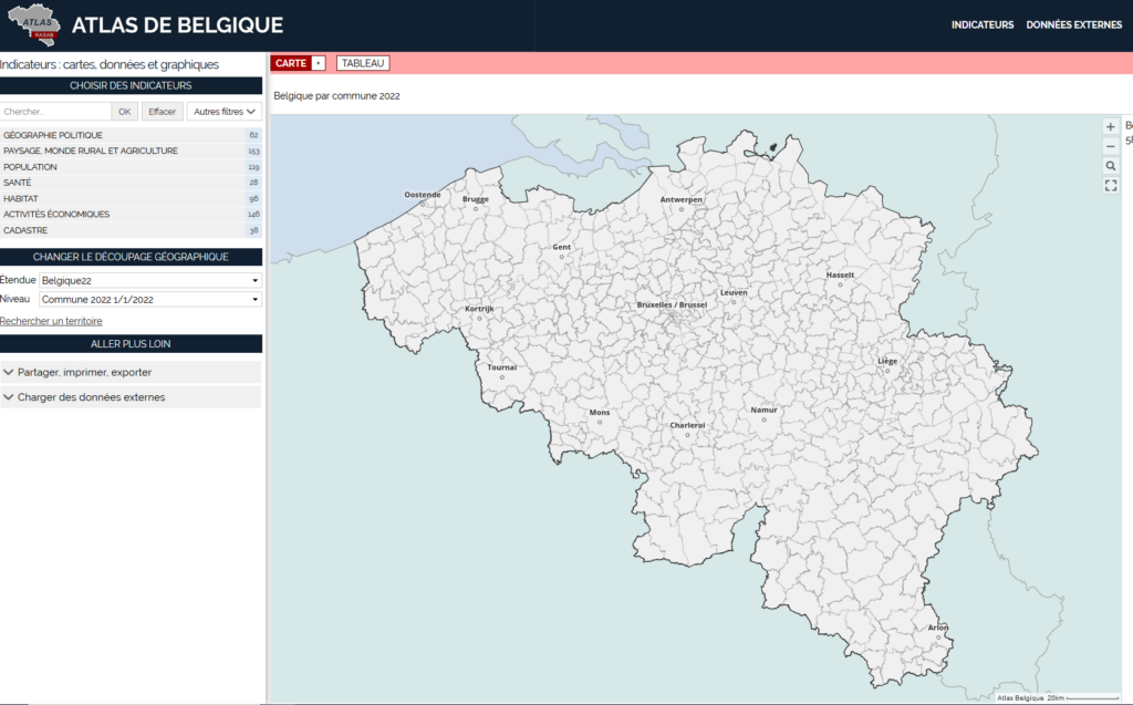
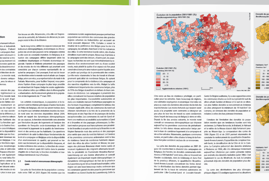
You have the possibility to navigate in different versions of the Atlas of Belgium: the old versions of the first, second and third paper Atlas, digitized versions and available in PDF format and, for some, in WMTS-layer, as well as the current digital version of the Atlas of Belgium in its version GeoclipAir, the observatory of territories with different themes and scales.


